
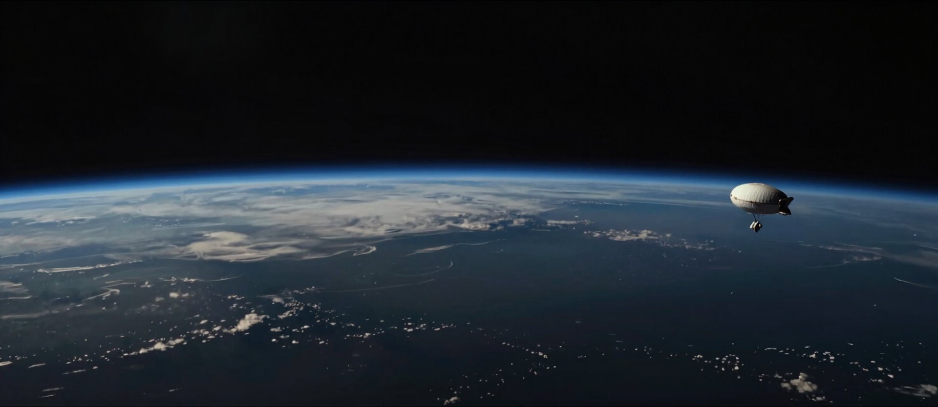
Stratospheric platforms for institutional science and aerospace education.
90,000 – 110,000 ft
Operational altitude range. Stratospheric conditions, Earth curvature, sub-zero thermal environment.
Up to 10 kg Payload
Modular payload architecture supporting sensors, imaging systems, and custom experimental packages.
Up To The Edge operates reusable stratospheric balloon platforms to 90,000–110,000 feet, delivering FAA-compliant missions, live telemetry, and full payload recovery for universities and research institutions.
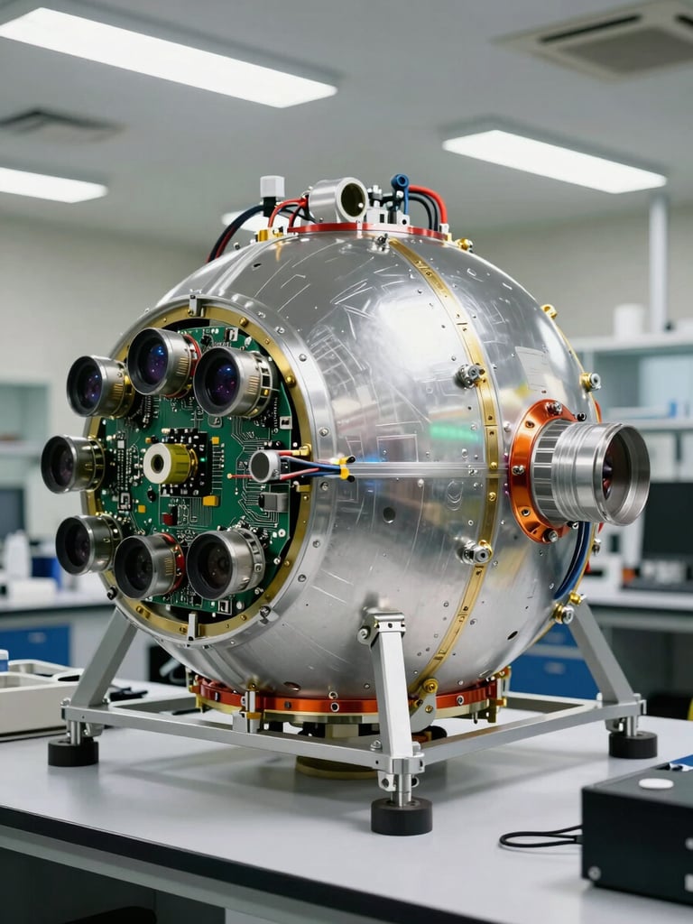
From payload integration to data recovery.
Every mission is managed end-to-end: flight planning, weather modeling, FAA coordination, live telemetry downlink, and hardware recovery. Institutions receive complete atmospheric datasets, not just launch services.
Semester-long academic packages provide a structured near-space field laboratory — no institutional infrastructure to build, no launch operations to staff.
Live telemetry · Atmospheric data collection · HD imaging · Recovery operations
Institutional-grade systems on every mission.
FAA-Compliant Operations
Telemetry-Driven Missions
Payload Recovery and Analysis
Every launch operates under full FAA coordination — flight planning, airspace authorization, weather modeling, and risk mitigation systems built into the mission framework.
Live GPS tracking, real-time data downlink, and onboard sensor logging provide continuous mission situational awareness from launch through stratospheric float to recovery.
Hardware and data recovered intact on every mission. Institutions receive atmospheric datasets, HD imagery, and engineering-grade post-flight analysis documentation.
Bring stratospheric infrastructure to your program.
Semester-launch packages, curriculum integration, and faculty collaboration support — structured for academic procurement and institutional research timelines.