
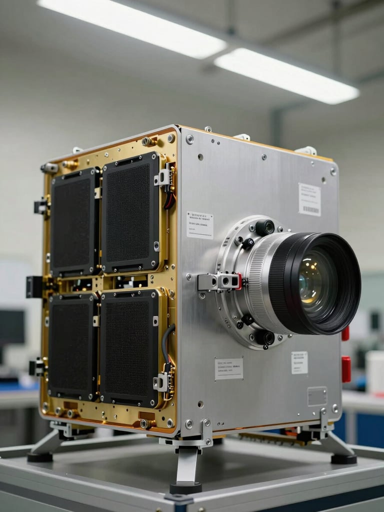
Stratospheric Research Infrastructure for Institutional Science
A validated flight framework supporting environmental sensing, imaging systems, and custom experimental payloads. Institutions bring the science; we operate the platform and return the data intact.
Research Domains Supported at Altitude
Each mission accommodates multiple payload classes within a single flight envelope—independently configured, independently recovered, and independently analyzed post-mission.
Environmental Sensing
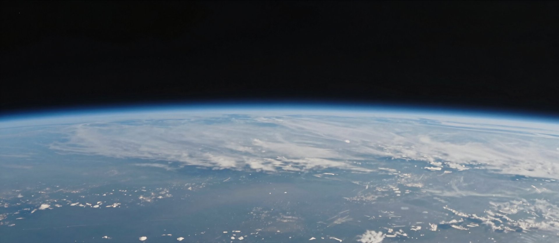
High-Definition Imaging
Radiation & Atmospheric Studies
Stabilized camera systems capturing Earth curvature, atmospheric boundary conditions, and payload-adjacent visual documentation for post-mission analysis and publication.
Radiation flux dosimeters and particle density sensors operating above 99% of Earth's atmosphere, with structured data output compatible with standard research workflows.
Pressure transducers, temperature arrays, and gas-concentration sensors configured for stratospheric column profiling across the full altitude ascent.
Your Data, Your Hardware, Returned Intact
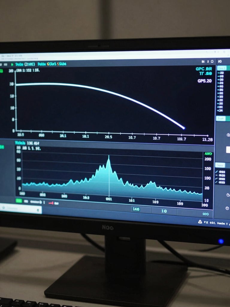
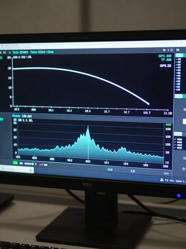
Institutions retain full ownership of payload hardware and all collected data sets. Up To The Edge delivers telemetry logs, atmospheric profiles, and sensor outputs as structured files ready for immediate research analysis.
Recovery operations are GPS-tracked from separation through touchdown. Flight planning, weather modeling, and risk mitigation protocols are managed entirely within our operational framework.
Bring Your Research to the Stratosphere
Faculty teams and graduate researchers can engage directly with our payload integration team to scope mission parameters and data delivery requirements before any commitment.