
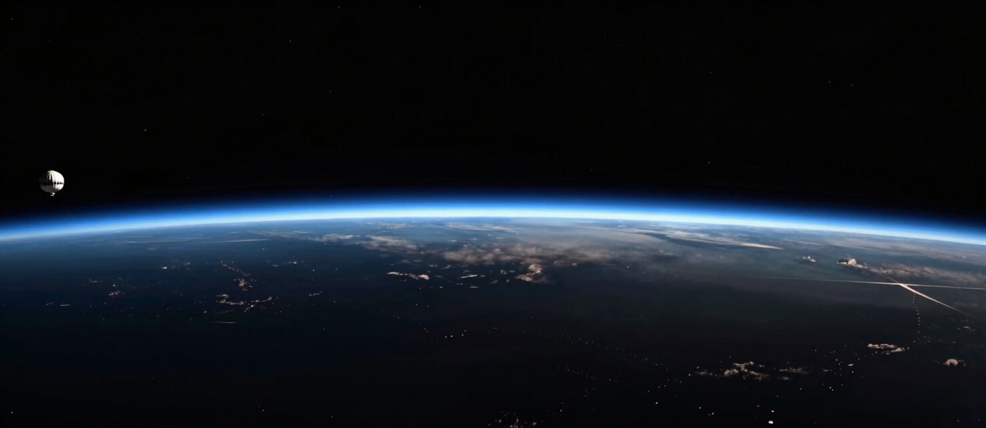
/ Mission Documentation
Visual Record of Stratospheric Operations
Every frame sourced from active missions. Earth curvature photography, payload integration, launch sequences, and recovery operations—documented at altitude.
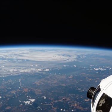
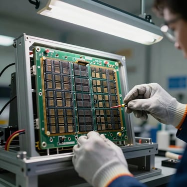
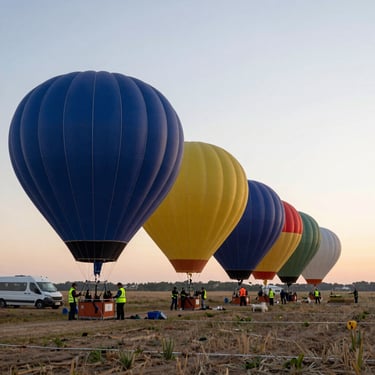
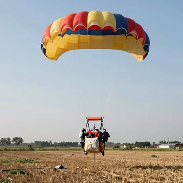
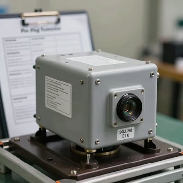
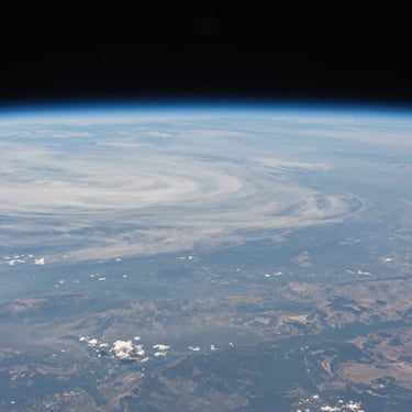
— Actual Mission Imagery
From Integration Lab to Stratospheric Altitude
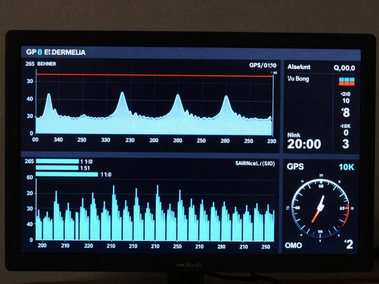
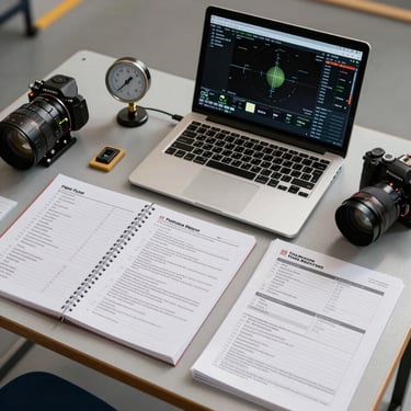
+ Systems Infrastructure
Telemetry-Driven Mission Architecture
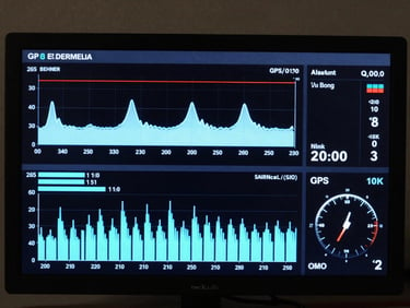
Real-time altitude, GPS positioning, atmospheric pressure, and temperature streams—documented throughout every mission and returned with the recovered payload package.
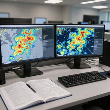
Flight-planning interfaces and pre-launch weather modeling give faculty concrete system evidence for grant documentation and department presentations.
Evaluate Mission Specifications
Review altitude range, payload capacity, telemetry systems, and recovery protocols—the full technical documentation for institutional program evaluation.